Northeast Braces for First Snow and Coldest Air of the Season
A developing nor'easter was forecast on 9 November 2026 to bring the first snow of the season to parts of the Northeast, with the coldest air so far this autumn.
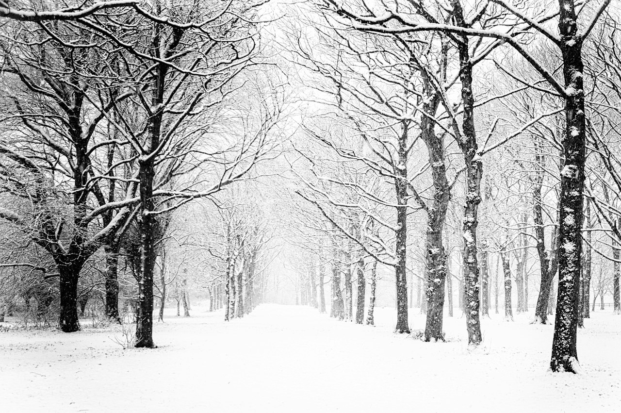
The Northeast first snow forecast on 9 November 2026 warned that a nor’easter forming later in the week could bring the first snowfall of the season to millions of people across the eastern United States, along with the coldest air of the season so far. A surge of cold air from Canada was expected to send temperatures plunging across the eastern half of the country by late Wednesday or Thursday morning, with daytime highs falling 20 degrees Fahrenheit from Chicago to Atlanta, according to the Weather Channel. Highs were likely to be about five to 15 degrees below average for Friday, 13 November, and Saturday, 14 November, from the Southeast to the Mid-Atlantic and central Appalachians, making it feel more like December, according to the Weather Prediction Center.
The developing system was expected to spread widespread rain across the East, with snow possible in the higher terrain of the Appalachians, especially Pennsylvania and West Virginia, and in the interior Northeast. Places that could see their first snowflakes of the season included Pittsburgh, Pennsylvania, and Syracuse and Binghamton, New York, along with the Poconos, Catskills and Berkshires. The upper Great Lakes could see wet snow by Thursday morning, and large swaths of New York, Vermont, New Hampshire and Maine could expect snow, as could the Upper Peninsula of Michigan and a narrow band of eastern West Virginia. The big cities of the Northeast and Mid-Atlantic, including Washington, New York City, Philadelphia and Boston, were expected to see mainly a cold rain, because the warmer Atlantic Ocean nearby would keep temperatures too mild for snow to settle.
Northeast first snow forecast brings cold snap
Forecasters stressed that there was still uncertainty in the track and expected impacts, and that the two main computer models disagreed on the storm’s strength and timing. The Weather Prediction Center said the heavier rainfall was likely over the northern Mid-Atlantic, with early-season snow possible for the higher terrain, and that snowfall totals would only come into focus as the models converged later in the week. AccuWeather meteorologist Brandon Buckingham said the cold air and the developing storm could bring the first snowfall for many, while the National Weather Service office in Albany described a low-pressure system moving east from the Ohio Valley on Thursday before transferring its energy to a new storm near the Atlantic coast on Thursday night or Friday.
Source: USA Today